


Manta tow survey
Manta tow involves towing a snorkel diver behind a small boat along the upper reef slope to make direct observation on the distribution of corals in a broad scale. Although obtained data are qualitative, e.g. 5 coral cover categories presented in the table below, they can provide general description of coral communities and disturbances such as the occurrence of the Crown-of-Thorns Starfish and coral bleaching. The rapidness is also an advantage of Manta tow. We usually complete Manta tow within 2 hours to cover about 5 km reef slope habitats in the survey area.

Download "manta" (kmz format, 352 b)

Manta tow tracks and coral cover changes can be viewed on Google Earth
Download Google Earth
Manta tow tracks and coral cover changes can be viewed also on Google Map
Manta tow procedure
Manta tow is carried out by a snorkel diver and an assistant on a boat. The snorkel diver holds on to a "manta board" attached to a small boat by an about 10-15 meter rope. While the boat runs along the upper reef slope (3-8m depth) at the speed of 6-8km/h, the diver makes a visual assessment of coral cover categories and other variables (see the table below). The diver records these data when the boat stops every 2 minutes, on a data sheet attached to the manta board. At the same time, the assistant records the position coordinates and time using a portable GPS. The GPS is set to record the boat track automatically.
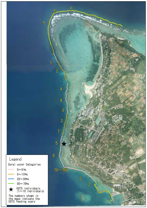
Manta tow results
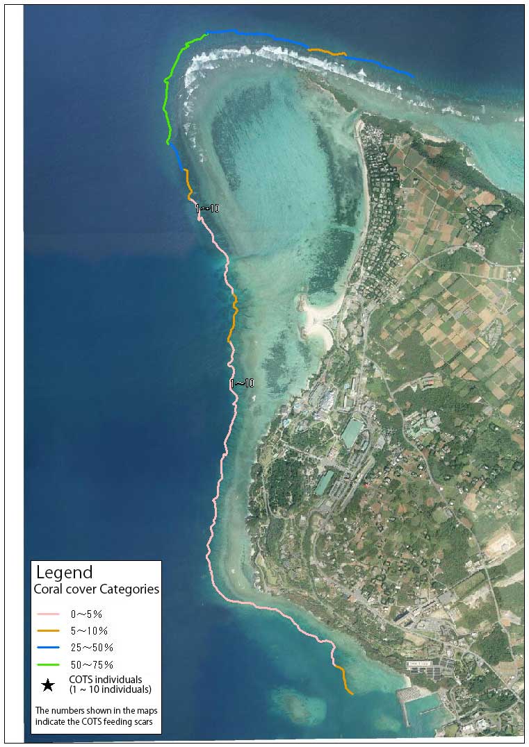
- Coral communities, Acroporid and Pocilloporid corals in particular, have recovered to moderate levels in North Bise and West Bise between 2006 and 2011.
- In the same period, coral cover in Beach-Aquarium and Dream Center has been generally low, but there was a sign of recovery in some parts.
- The number of feeding scars by the Crown-of-Thorns Starfish (COTS) increased in 2011. The starfish predation was thought to be the major cause of a decline of coral cover in the following year.
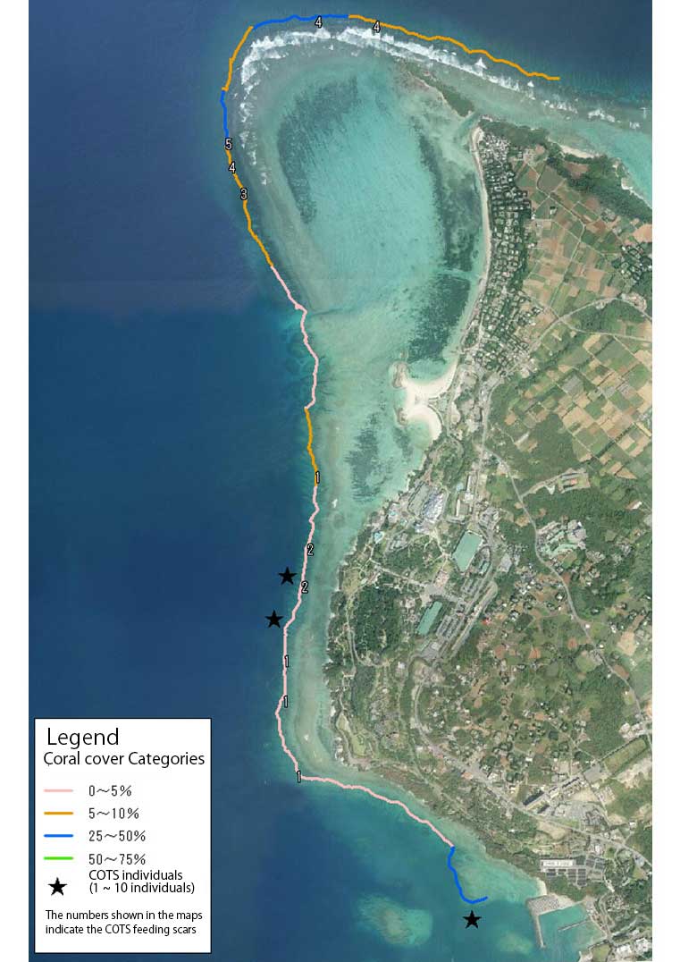
- In 2014, total coral cover increased slightly at North Bise, while COTS still occur in relatively high density throughout the survey area.
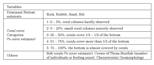
2006 Results 2007 Results
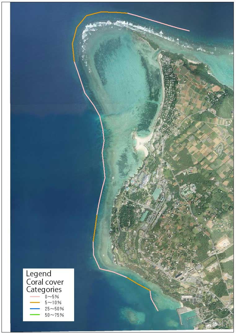
2008 Results 2009 Results


2010 Results 2011 Results

2012 Results 2013 Results

2014 Results